Kincardine and Deeside
57°01′34″N 3°00′43″W / 57.026°N 3.012°W

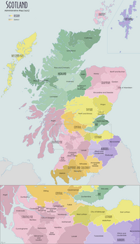
Kincardine and Deeside was formerly (1975–96) a local government district in the Grampian Region of Scotland. In 1996 it was included in the Aberdeenshire council area.
History[edit]
This region is rich in prehistory with numerous megalithic sites, notable in the earliest period of recorded history with several significant Roman sites. The region is also traversed by several ancient trackways across the Grampian Mounth, including the Causey Mounth and Elsick Mounth.[1] In addition there is evidence of ancient burials from the Beaker Period.[2]
Places of interest[edit]
- Dunnottar Castle
- Fowlsheugh Nature Reserve
- Muchalls Castle
- Portlethen Moss
See also[edit]
Line notes[edit]
References[edit]
- C. Michael Hogan (2007) Elsick Mounth, The Megalithic Portal, ed A. Burnham
- A. Small, Margaret Bruce and Ian A.G. Shepherd (1988) A Beaker Child Burial from Catterline, Kincardine and Deeside, Proc. Soc. Antiquaries Scotland 118: 71-77

